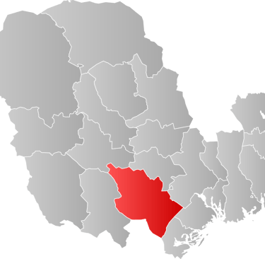
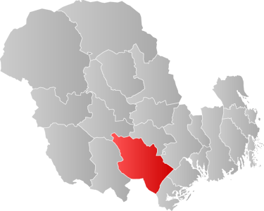
Drangedal Kommune
Pop. 4,138; Area 998 sq. km. (385 sq. mi.)
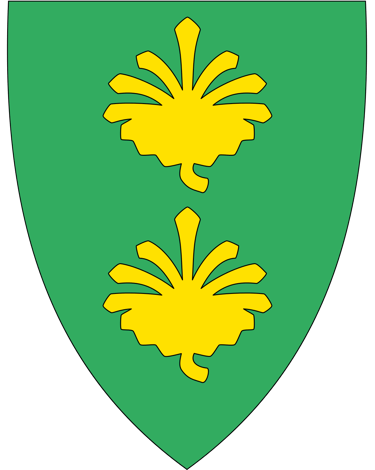
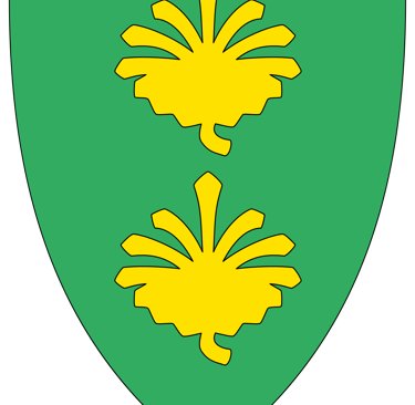
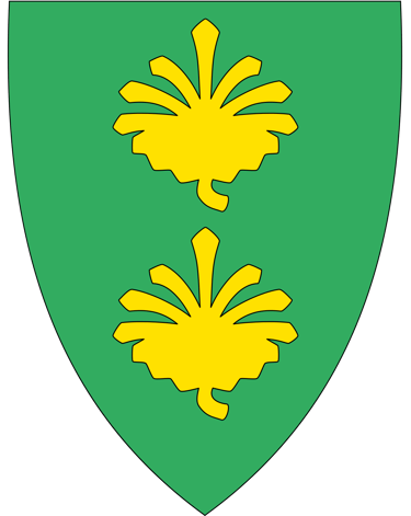
Drangedal is part of the traditional region called Grenland. Its coat of arms has two pine cones set on a green background, reflecting the kommune's lush forests and woodlands.
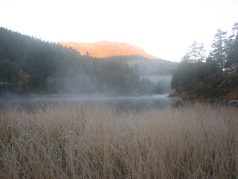
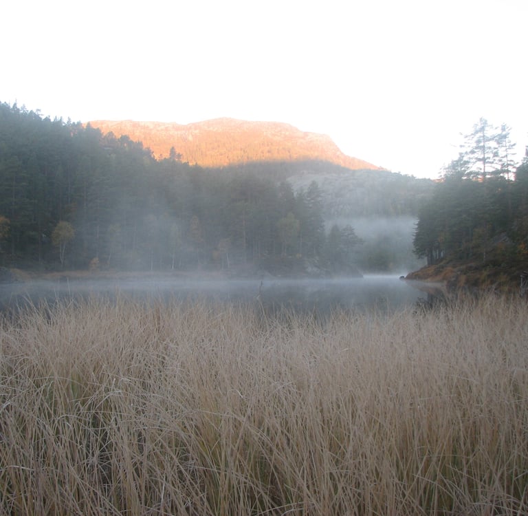
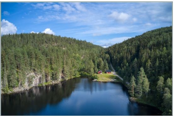
The administrative center of the township is Prestestranda on the western shore of Lake Tokke. The area is mostly forests and moors with several lakes, the largest being Tokke and Bjorvatn. There are boat houses on the shores of Lake Tokke which have been restored recently.
Sights to See:
Drangedal District Museum lies on Highway 38 on the outskirts of Prestestrada and has a pleasant location in a wooded area around a small lake. There are 15 different buildings here presenting a cross-section of buildings common to the district.
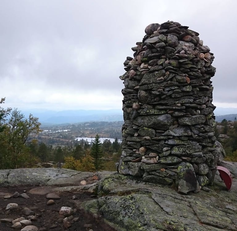
The Gråtopp Fort in Holtegrenda is close to Highway 38. This hill fort was used by Halvard Gråtopp, a peasant rebel who raised an army against the nobility and marched on Oslo in 1438. A monument to Halvard Gråtopp has been erected near Vråstad in Tørdal.
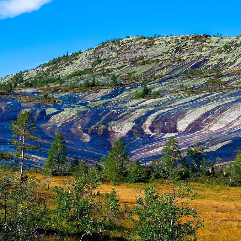
Skultervannsåsen Virgin Forest is a protected area. It is famous for its large wild yew trees.
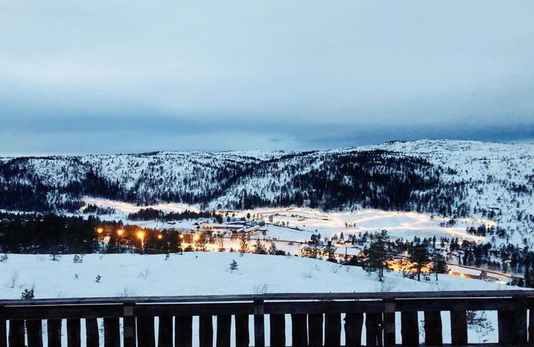
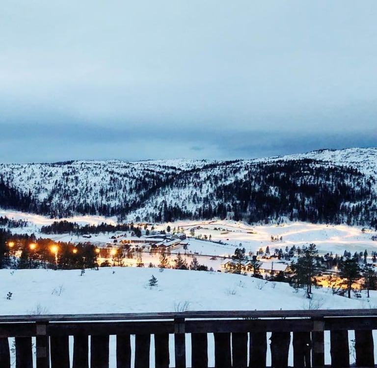
Gautefall is the main tourist center with a large resort hotel and numerous cabins.
The closed mines in Tørdal are popular hunting grounds for amateur geologists.

Bygdebok for Drangedal
Det var ein gong - Minner frå Drangedal. Utg. Drangedal historielag. 1/1976-
Sannes, Olav. Drangedal med T¢rdal: ei bygdesoga. Skien: Drangedal i I Kommission hos h. Holms bokhandel, 1924/Oluf Rasmussens Boktrykkeri, 1974.


Drangedal Kommune
Pop 4091; Area 1063 sq. km (410 sq mi)
Church Parish: Drangedal, Kroken, Tørdal
Historic Churches: Drangedal and Tørdal
Drangedal, a forest and heath-filled region, was established in 1837, and its borders have remained unchanged. Agriculture, forestry, and tourism make up most of its economy, and a full third of residents commute out of the kommune for work. The region is crisscrossed with hiking trails and dotted with nature preserves and waterfalls. It boasts over 1,200 vacation homes, mainly around the Toke River and Gautefall.
Until 1963, the village of Gautefall was a mountaintop farm on a dead-end road. Although tourism to the area began early in the 1900s, it wasn’t until the 1950s that it became a popular skiing destination. Soon, roads and cabins followed, and the alpine center, one of the largest in Telemark, was completed in 1976.
The Drangedal Bygdetun open-air museum preserves 19 different 18th- to 19th-century buildings, and a modern building holds numerous historical artifacts. In the woods nearby lie the ruins of Gråtoppslottet, a bygdeborg (village castle) ruin that Hallvard Gråtopp, the leader of a peasant uprising in the 15th century, likely used.
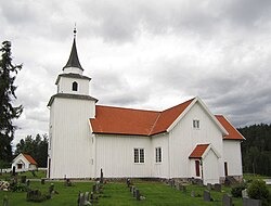
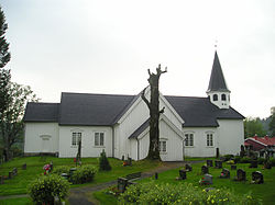
The Drangedal church was built in 1775, and the Tørdal church was built in 1748 to replace a stave church on the same site. A church has stood at that location since the Middle Ages.
Research begun in 1994 affirmed a bunad custom unique to Drangedal, which was officially adopted in 1997. Unlike the inland Telemark bunad, the Drangedalsbunad was influenced by contemporary Biedermeier fashion.
Notable people from Drangedal:
Hallvard Graatop (early 15th century), a rebel leader opposing the Crown and the bailiffs who may have lived at the Vraalstad farm in Drangedal
Andrew Gulickson (1856 in Drangedal – 1941), a Norwegian American politician, member of Wisconsin State Assembly
Knud Wefald (1869 in Yttre Vefald – 1936), a Norwegian American politician in the United States House of Representatives
Knut T. Storbukås (born 1943 in Bostrak), a musician and truck driver, stage name Sputnik
Telesoga Issues:
1951
1953
1952